Rangelands Atlas

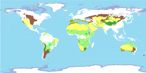
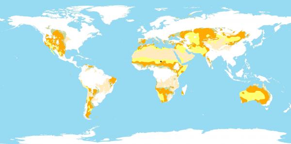
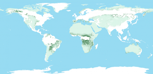
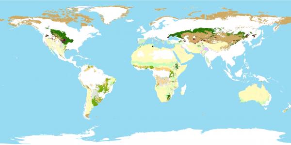
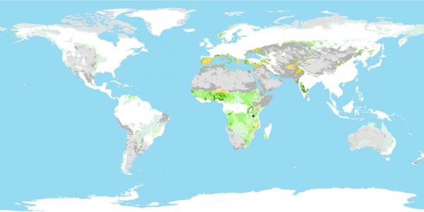
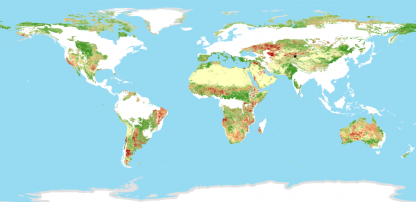
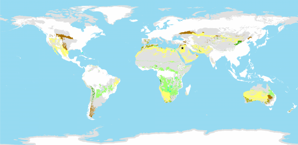
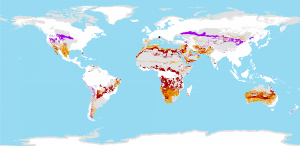
This mapping of rangelands was produced by focusing on seven of the 14 global biomes categorised by WWF in their mapping of terrestrial ecoregions around the world. This map of rangelands is combined with other existing global datasets on different themes, to produce a mapping of that data “for rangelands.”

Each entry is presented with a short explanation of the map, key figures produced from the big data that produced the map, and a story from the field. We are reliant on the accuracy of the datasets we have accessed: the data have not been verified at regional, country or local level, and therefore is only an indicator of broad and estimated figures and trends.

Though the maps are global in nature and hide changes taking place at the local level, the Atlas is a useful starting point for drawing attention to rangelands and the need for their protection and restoration.

Distribution of rangeland types globally

Dryland types found in rangelands globally

Forest cover, gain and loss in rangelands

Types of ruminant production systems found in rangelands globally

Changes in anthropogenic biomes found in rangelands globally between 1700 and 2000

Terrestrial protected areas found in rangelands globally

Key biodiversity areas (KBAs) in rangelands globally

Numbers of threatened vertebrates in rangelands globally

Land productivity in rangelands between 2001-2015

Changes in soil organic carbon (SOC) over the period 2001-2015 in rangelands

Progress towards land degradation neutrality (LDN) over the period 2001-2015 found in rangelands

Predicted changes in variation of annual rainfall, length of growing period, and temperature by 2050

Rangelands affected by three climate thresholds

Three climate change thresholds found rangelands

Changes in land cover over the period 2001-2015 in rangelands

Grassland types found in rangelands globally

The Rangelands Atlas is the output of a collaboration between